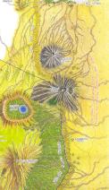
The most accurate map of the region that we could get
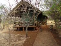
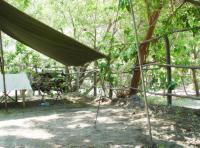
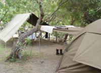
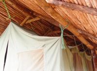
08:11: Our luxury tent at the Kirurumu
08:12
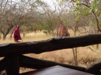
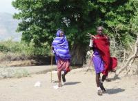
08:12: The staff were (or were dressed as) Maasai
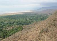
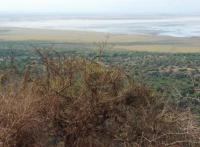
08:50: Lake Manyara, this is another closed basin of the rift valley. The lake is very salty, the vegetation lives from the water that flows from the top of the rift.
08:50
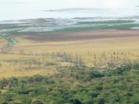
08:51: The dead trees are due to el Nińo which submerged the treed areas for a very long period.
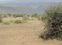
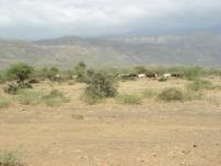
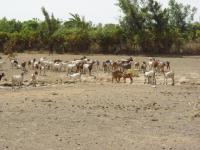
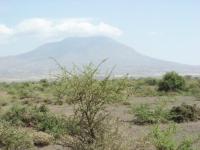
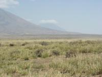
10:18: The rift valley, besides the wildlife there is quite a bit of cattle raising
10:19
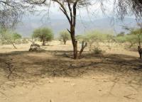
10:19: This was the dry season, clearly.
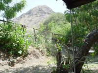
10:24: The village of Engaruka, where the "good" road ends (bifurcation to the Engaruka ruins)
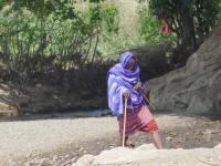
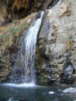
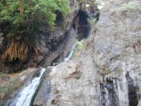
10:25: A small stream of clear water gives life to this village and forces some maasai to get wet feet...
10:25
10:25
10:27
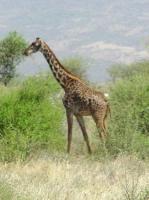
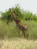
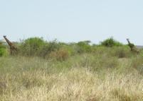
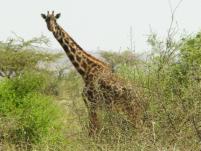
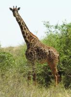
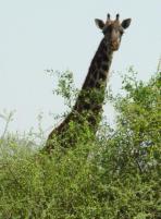
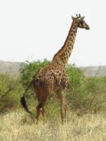
10:38: Notice that most of the time the giraffes are looking at us, they did not approve our presence.
10:39
10:39
10:39
10:40
10:41
10:42
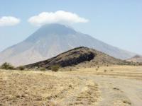
10:48: First view of the Ol Doinyo Lengai, far on the right
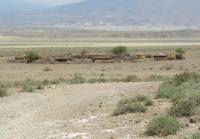
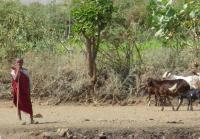
10:59: A Maasai village
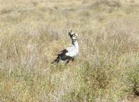
11:04: The secretary bird. Its name comes from the feathers on the back of its head which ressemble the quill pens worn behind a secretary's ear in the last century.
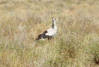
11:04: Our guide told us that the name comes from the way that they kill the snakes with their feet claws, just like typing.
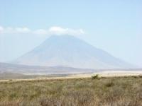
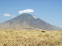
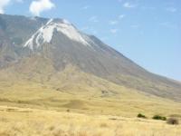
11:04: The Ol Doinyo Lengai, a south view
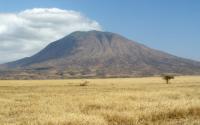
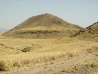
11:21: The Kerimasi from the east
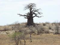
11:29: Another Baobab tree, which can get to be thousand of years old
11:32: Not exactly an Autobahn...
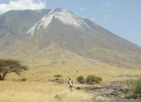
11:45: The white stuff is not snow, it is not ash, they are some crystals derived from the natro-carbonatites
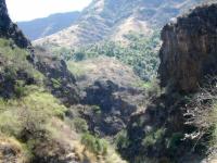
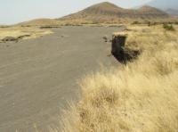
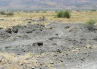
11:52: This part of the Rift valley is littered with volcanic cones.
11:52
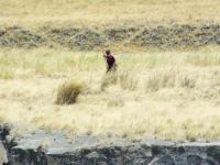
11:58: In the absolute middle of nowhere, a Maasai warrior would appear walking around, always carrying a spear.
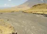
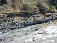
11:58: A very wide, and completely dry, river
11:58
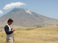
12:13: The Lengai from the East
12:17
12:17
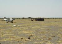
13:20: The Engaresero international airport. The arrivals terminal (on the right) and the departures terminal (on the left, which has lost its walls). The white stones mark the runway. In this case the doctor flew in to treat a kid who was injured playing in a ravine.